You are using an outdated browser. Please upgrade your browser to improve your experience.

Gateways to the Caribbean

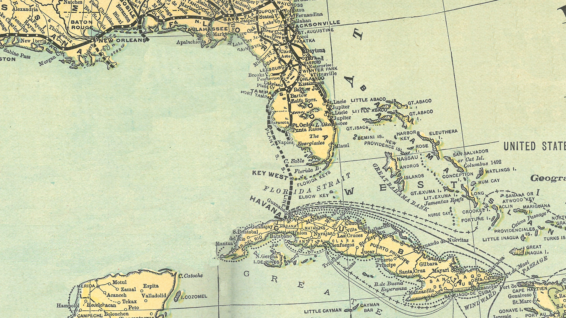
Mapping the Florida-Cuba Connection

Tampa Bay History Center, Touchton Map Library, 1889, Map of North America Showing Direct Passenger Transportation Lines between the United States, Mexico, The West Indies, Central and South America, also Illustrating the Geographical position of Florida and Location of the Railroad, Steamboat and Steamship Lines of the Plant System for Commerce with other States and the Countries South and East of the Gulf of Mexico

Virtual Gallery Tour