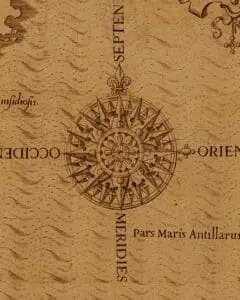
Maps can communicate political boundaries or chart environmental changes. Historical maps can tell you how the people who made them understood the broader world around them and how technology evolved. Maps can even be viewed as intricate works of art.
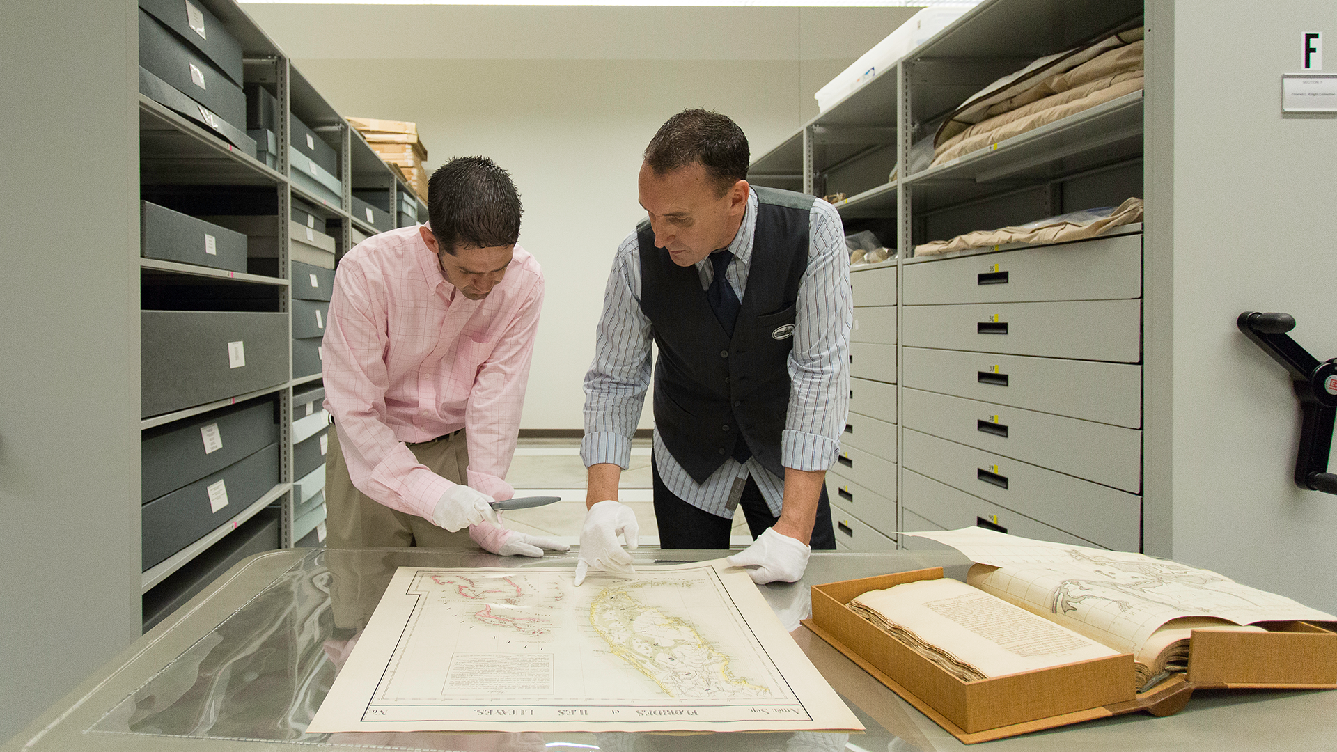
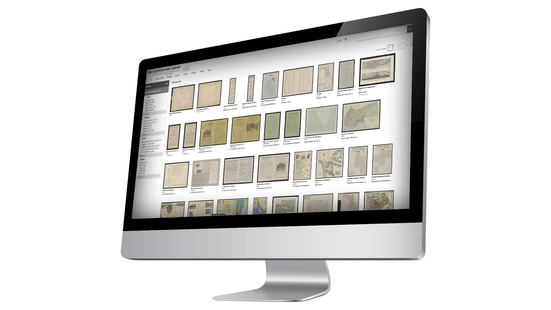
The Touchton Map Library and Florida Center for Cartographic Education is home to thousands of maps, charts, and other documents dating back from the early European exploration of North America more than 500 years ago up through the early 21st century.
In partnership with the University of South Florida Libraries, the Touchton Map Library also has access to the university’s diverse collection of more than 10,000 state and regional maps, primarily related to government agencies and documents covering the past 500 years.