The Revolution from Florida’s side: Mapping the 14th Colony
The Florida story missing from the American Revolution
Most Americans learn about the Revolution through the 13 colonies that declared independence. But what was Florida doing while that new nation was being formed?
In 1776, Florida was not part of the rebellion. It was not Spanish territory, either. East Florida and West Florida were British colonies and they did not join the 13 colonies fighting for independence. They stayed aligned with Britain.
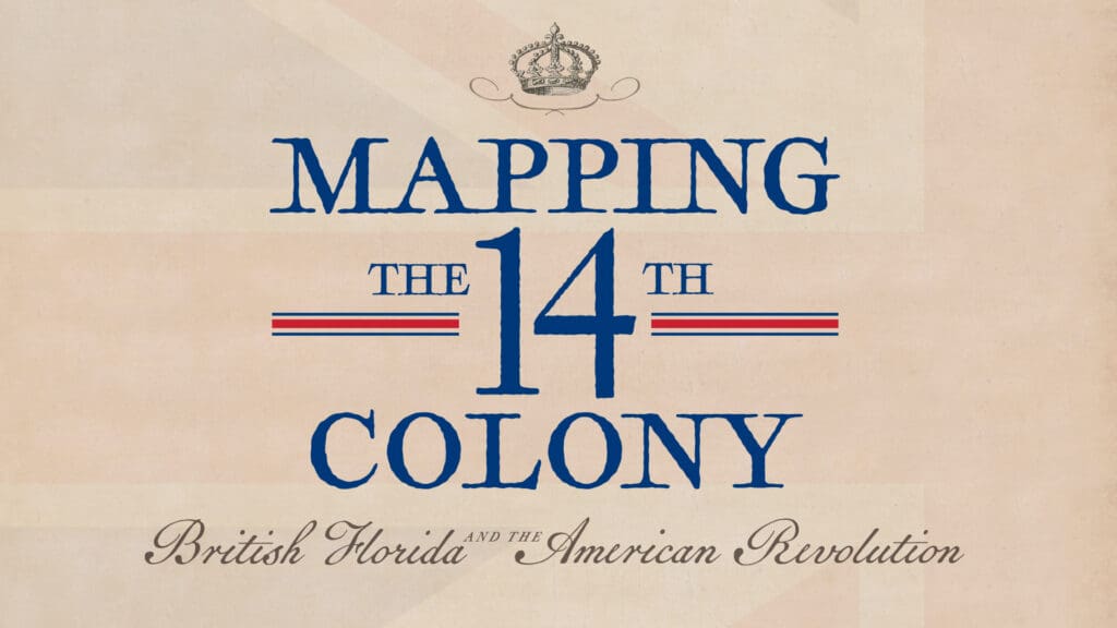
That overlooked history is the focus of Mapping the 14th Colony: British Florida and the American Revolution, opening July 3 at the Tampa Bay History Center’s Touchton Map Library. The temporary exhibit uses original maps, charts and images from the History Center’s collection to show Florida’s place in the Revolutionary era from the other side of the conflict.
Researched and curated by Rodney Kite-Powell, director of the Touchton Map Library, the exhibit follows the British Floridas from their transfer from Spain to Great Britain in 1763, through the American Revolution, and back to Spanish control after the 1783 Treaty of Paris.
The maps show a Florida shaped by empire, loyalty and war. St. Augustine became a refuge for loyalists fleeing the conflict in the colonies to the north. Pensacola became a key site in the Gulf Coast struggle between Britain and Spain. Together, East Florida and West Florida reveal that the American Revolution was larger than the 13-colony story many people first learned.
“The things that we do here, almost everything we do here, ties to American history,” said Kite-Powell. “But with the map show, we will be able to show the importance of Florida history almost through the reverse that you would see in normal revolutionary stories told, because we stayed loyal.”
For America250, that reverse view matters. Mapping the 14th Colony gives visitors a chance to see how Florida fit into the founding era, even though it stood on the opposite side of independence.
Why Florida took a different side
Florida’s Revolutionary story looked different because British Florida was still new.
Great Britain acquired Florida from Spain in 1763 and divided the territory into two colonies: East Florida, with its capital at St. Augustine, and West Florida, with its capital at Pensacola. By the time the Declaration of Independence was signed in 1776, Britain had controlled Florida for only 13 years.
East Florida and West Florida did not have the same long history of colonial protest that developed in places such as Boston, Philadelphia and Williamsburg. Many residents were connected to the British government, the military or the loyalist cause. Others came south because Florida offered refuge from the fighting in the rebelling colonies.
“We are the reason why they don’t talk about the 14 colonies; we talk about the 13 that formed the beginning of the United States,” said Kite-Powell. “We were British colonies at that time, and there are stories to be told from that difference, the uniqueness of our story that can be folded into the broader American history. We were a new colony; there hadn’t been many grievances, and so many of the people who were here were on the payroll of the British government rather than living for a generation or more physically separated from the mother country. That physical independence contributed to the desire of actual independence, and Florida never really experienced that.”
That contrast is what makes Florida’s Revolutionary story worth sharing for America250. The 13 colonies moved toward independence after years of conflict over taxes, representation, trade and self-government. British Florida had a different relationship to the empire. East Florida and West Florida were newer colonies, more dependent on British support and home to many people whose jobs, land, safety or political loyalties were tied to the crown.
For Floridians, that changes the way the Revolution looks. Florida was not simply missing from the founding story. It made a different choice during the same time period. Mapping the 14th Colony gives visitors a way to see why our region stayed with Britain while the colonies to the north rebelled and fought for independence instead.
Maps that show Florida changing hands

The maps in Mapping the 14th Colony help visitors see Florida as a place in motion.
Before Florida became part of the United States, its borders, rulers and place names changed with each conflict. The exhibit follows those changes from Florida’s early colonial history under Spanish rule, through the British period during the American Revolution, and into the years before Florida officially became part of the United States through the Adams-Onís Treaty of 1821.
Two maps in the exhibit show how much Florida’s place in the world shifted over time.
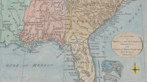
An Exact Map of North and South Carolina & Georgia, with East and West Florida. published in 1778 by William Russell, shows the southeastern British colonies during the Revolutionary era. The map covers the Atlantic coast to the Mississippi River and includes the northern Gulf of Mexico. Florida appears as East Florida and West Florida, both under British control, while Spanish place names and Indigenous group names remain visible across the landscape.
Another map, A map of the southern section of the United States including the Floridas & Bahama islands, published in 1813 by John Melish, shows the region decades later, as the United States expanded south and conflict continued to reshape the Southeast, the Floridas and the Gulf Coast.
These maps, among the full map collection for this exhibit, explain why Florida’s Revolutionary story was different. The 13 colonies to the north fought to break away from Britain. East Florida and West Florida stayed tied to British power, then returned to Spanish rule during the Treaty of Versailles, before eventually becoming part of the United States.
At the center of the exhibit is A New Map of East Florida from 1767. Made less than a decade before the Declaration of Independence, the map shows East Florida as Britain understood it: a colony to be surveyed, organized, defended and developed. It serves as a centerpiece for the exhibit, helping visitors see how British officials viewed Florida before the Revolution changed the future of North America.
A selection of maps from the exhibit, including the 1778 Russell map and the 1813 Melish map, will also be available as made-to-order custom prints through the History Center. The full custom print collection includes 39 maps related to the story of British Florida and the 14th Colony.
See America250 from Florida’s side
Florida’s history was already complicated before it became part of the United States.
Before the Revolution, this region had already been shaped by Spanish rule, Indigenous communities, African history, Caribbean movement, European conflict, slavery, settlement and trade. That longer, more diverse history is part of what makes Florida’s story different from the 13-colony narrative many Americans first learn.
Florida was a frontier, so political connections helped but personal initiative could get you far,” said Kite-Powell. “There was of course enslavement of African and Indigenous people and taking of Indigenous land, but there was also a level of cooperation; there was the very first free Black settlement here in Florida, north of St. Augustine. Seminoles kept vast herds of cattle in North Florida. Again, much of this predates the Revolutionary era, but it all leads into this American story. Florida was an American place before there was the United States of America, and because of this we reflect the broader spectrum of who we are as Americans.”
As the country marks 250 years since the signing of the Declaration of Independence, Mapping the 14th Colony gives visitors a Florida-centered view of the founding era. The exhibit shows how East Florida and West Florida fit into the larger conflict that produced the United States, even though both colonies stayed aligned with Britain during the Revolution.
Visit during Fourth of July weekend to see America250 from Florida’s side, or stop in throughout the summer to learn what made Florida’s Revolutionary story different. Mapping the 14th Colony: British Florida and the American Revolution is on view July 3 through Nov. 29, 2026, at the Tampa Bay History Center.

About the Author
Sara Cheesewright serves as Digital Marketing Associate at the Tampa Bay History Center. She holds a Master of Arts from St. John’s University and brings more than five years of editorial expertise to her work. As a lifelong storyteller, she is deeply...